ROS与激光雷达入门教程-RS-lidar-16雷达3D点云数据转2D激光数据
ROS与激光雷达入门教程-RS-lidar-16雷达3D点云数据转2D激光数据
说明:
- 介绍如何把RS-lidar-16雷达3D点云数据转2D激光数据
步骤:
1.安装:
安装rslidar驱动,参考:https://www.ncnynl.com/archives/201807/2552.html
编译pointcloud_to_laserscan源码
假设工作空间为rslidar_ws
cd ~/rslidar_ws/src
git clone https://github.com/ros-perception/pointcloud_to_laserscan
cd ~/rslidar_ws
catkin_make
source ~/.bashrc #假设你已经把工作空间添加到bashrc文件
- 新建rslidar.launch
cd ~/rslidar_ws/src/pointcloud_to_laserscan/launch
vim  rslidar.launch
- 内容如下:
<?xml version="1.0"?>
<launch>
    <!-- run pointcloud_to_laserscan node -->
    <node pkg="pointcloud_to_laserscan" type="pointcloud_to_laserscan_node" name="pointcloud_to_laserscan">

        <remap from="cloud_in" to="/rslidar_points"/>
        <remap from="scan" to="/rslidar/scan"/>
        <rosparam>
            # target_frame: rslidar # Leave disabled to output scan in pointcloud frame
            transform_tolerance: 0.01
            min_height: -0.4
            max_height: 1.0

            angle_min: -3.1415926 # -M_PI
            angle_max: 3.1415926 # M_PI
            angle_increment: 0.003 # 0.17degree
            scan_time: 0.1
            range_min: 0.2
            range_max: 100
            use_inf: true
            inf_epsilon: 1.0

            # Concurrency level, affects number of pointclouds queued for processing and number of threads used
            # 0 : Detect number of cores
            # 1 : Single threaded
            # 2->inf : Parallelism level
            concurrency_level: 1
        </rosparam>
    </node>
</launch>
- 参数说明:
min_height 、max_height #这两个参数用来指定这段z轴高度范围内的输入点云将参与转换,范围外的不参与
angle_min、angle_max #这两个参数用来指定这段yaw角度范围内的输入点云将参与转换,范围外的不参与
angle_increment #输出的2d雷达数据的角分辨率,即相邻扫描点的角度增量
scan_time #扫描时间,即话题的发布周期
range_min、range_max #这两个参数用来指定输出数据的有效距离,即2d雷达的有效测量范围
2.测试:
- 新开终端,启动雷达
roslaunch rslidar_pointcloud rs_lidar_16.launch
打开rviz,显示3D点云图
如图:

新开终端,启动转换
roslaunch pointcloud_to_laserscan rslidar.launch
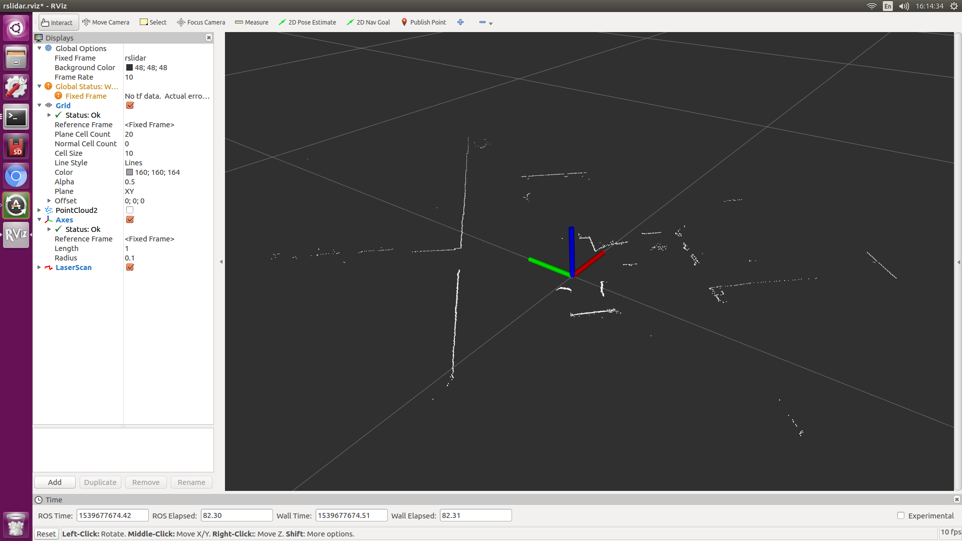
- 在rviz中勾掉pointcloud2
- 增加话题,/rslida/scan
- 如图:
获取最新文章: 扫一扫右上角的二维码加入“创客智造”公众号


